Rangitoto is an island volcano (presently inactive) near Auckland Harbor. Turns out that Auckland is a geologic hotspot with something like 48 volcanos (all currently inactive) within 30 miles of New Zealand’s major population center – home to fully 50% of New Zealand’s 4 million residents. Good thing they are inactive – very bad thing if they decide differently.
Rangitoto is almost perfectly symmetrical so looks almost the same no matter where you view it from.

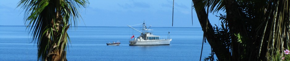
We anchored Iron Lady in one of the bays.

That is her left and below center. Deb was not feeing well so Joe an I decided to make the trek to the top – roughly 2 to 3 hours in each direction – while Deb watched our gal.
Here are some views as we walked. Some of the ancient lava fields.


Overlook views along the way.


Looking back at Auckland.


A view of the central crater as we walked around the top.

The viewing station (from WW2 that was a lookout) at the top.

And the “easy way” back down.

Glad I don’t live under the sword of 48 volcanos.