Christmas Island lies at 1.5 degrees North of the equator around 157 degrees West. The transit from Nuka Hiva to Christmas was around 1230 nautical miles – a little over 5 days for Iron Lady. The following is a map of the transit including the onward journey of 360 nautical miles to Palmyra Atoll – more about that later.

Kiribati (pronounced Kiribas) is an island nation composed of 32 atolls stretched over 1,351,000 square miles of ocean stretching from the international date line to Christmas Island and straddling the equator. The capital is South Tarawa well to the west of Christmas (which is part of the Line Islands). Total population of Kiribati is around 100,000 people. Most of the Islands gained independence from Britain in the 1970’s.
During World War II, the island was occupied by Allied Forces and many of the structures from that time still remain. More to come on that in the pictures. During the 1950’s, Britain and the US conducted nuclear tests on some of the more remote islands. Today, Kiribati is considered to be one of the most vulnerable island nations to climate change and sea level rise. (Sources for above – Wikipedia)
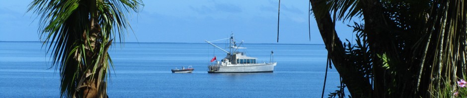
While commercial ships anchor off the beach on the leeward side of the island, it is too deep for the likes of Iron Lady.

The primary “small boat” anchorage is in the pass leading out from the lagoon near the main town of London. Entry further than this is prevented by extremely shallow water. Fortunately, the current flow in this area is always out of the lagoon which also lies in the same direction as the prevailing wind so it is relatively calm here.

The location is marked with a stick pin.
We arrived late in the evening with little daylight left so we quickly found a spot and dropped anchor for the night. In the morning, we began the “process” of clearing in and out of Christmas as we only intended to stay one day. It began with numerous calls over the VHF along with lots of questions. Did we have a small boat that could get in to the harbor at London? How many could it hold? We indicated 3 or 4 people at best. We were told that wouldn’t work as at least 7 or 8 people had to come to the boat (get the feeling that these folks don’t get many visiting boats?). When we advised that that wouldn’t work, we were told that their customs boat was broken and we would have to send someone ashore in our dink. Steve was elected and we launched Beer Can. Some two hours passed and no word from Steve. Finally Beer Can appeared coming out of the harbor with 3 people aboard.

After the formalities (they agreed to clear us in and out at the same time so we could leave unimpeded the next day), Steve told us that he had piled into the back of a pick up and driven around town to collect the necessary people. A long discussion followed as to how we could reduce the number of folks that had to clear us in from 8 to 3. It was agreed that some would double up no their responsibilities and we could meet with others when we came in.
All was well until they mentioned that there would be clearance fees and a fee for coming out to the boat which was normally charged to offset the cost of their customs skiff. It didn’t seem to matter that their skiff was broken and we had used Beer Can – a fee is a fee and it was still due.
It was beginning to sound like Tonga all over again (a good read if you haven’t read those posts). At any rate, Steve departed took the folks back to town (no fees having been paid) and came back to get us. When we arrived in town, no one seemed to be around to collect the fees so we went for a walkabout. The following is the entrance tot he small harbor in London.

Again, you can see the clear influence of WW II architecture in both the newer buildings and the rusted remains of those from WW II. Seems that when new structures were required, they simply modeled after what was there.


Some of the local government buildings.


Despite the temperature (remember – we are right on the equator), the locals were engaged in a mid day soccer game.


Some folks from the US who were stationed here during WW II came back to build the local school.

One of the things we wanted to do while here was hit the local internet cafe. It was a LONG walk for very SLOW internet service – I finally gave up even trying to get email. The cost was $1 per hour – now I know why.


Interestingly enough, during our walk to the internet cafe, a truck came by with some of the immigration and customs folks aboard. They were hunting us down to collect the fee for the use of the customs skiff that didn’t work. It was modest and we gladly paid it – seems they forgot about the rest of the fees – not sure why. Oh well.
On the walk back, a kindly gentlemen picked us up and drove us back to town – turns out is was the mayor. He confirmed what I had heard – Christmas is becoming a world class fly fishing destination for bonefish and permit. Would have loved to give it a go but time was against us as we also wanted to get to Palmyra and it was now approaching the active part of the hurricane season in the North Pacific. While safe at 2 degrees North we still had to cross the ITCZ (Inter Tropical Convergence Zone) and deal with anything developing off Baja and moving west.
The Mayor dropped us of at the local store where we hoped to pick up some fresh veges and produce.

No such luck – the boat was due in next week but only canned goods until then. The cold beer tasted pretty good though.

Besides – it contained lots of things that are good for you.
Cheers