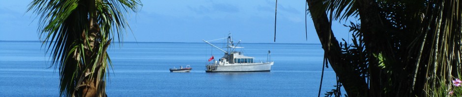
Princess Louisa lies at the head of Jervis Inlet. From Thunder Bay it is approximately 45 nautical miles and the entrance to Princess Louisa is governed by passage thru Malibu Rapids – a twisty passage with tidal currents of up to 9 knots.
Canadian tide tables show that Malibu is a secondary port referenced to Port Atkinson tides. Offset from Port Atkinson shows to be between 25 to 35 minutes after low and high tides at Port Atkinson. Slack current occurs another 20 to 30 minutes after high or low tide. For June 7, we are on a neap tide (as opposed to spring tides). Springs are the higher tides that occur around the full and new moon. Tide differentials tend to be lower on neap tides and hence current flow is less. One of the daily diurnal tides tends to have higher highs and lower lows then the other. For our passage, the favoured tide occurred around 1530 in the afternoon. On that basis, we timed our departure from Thunder Bay to coincide with arrival at Malibu rapids about one hour earlier. 45 miles from Thunder to Malibu at 9 knots average meant a departure around 0930 with an hour to spare.
Lots of pictures this time as the scenery is spectacular. As or more beautiful then Fiordland in New Zealand.
Jervis inlet is really more of a fiord and the surrounding mountains become higher and steeper as one progresses up the inlet.


Our arrival at Malibu was right on schedule and the rapids were non existent so we, along with 4 other boats proceeded thru earlier then predicted slack tide.


There is a resort located right on the rapids so I am certain the guests get quite a show when the rapids are running. This fellow is the station wagon of the north – a De Havallin Beaver getting ready for take off just after the rapids.

Once thru Mailbu rapids, it is about 4 nautical miles to the head of the inlet. Princess Louisa if a steep sided fiord carved by a massive ancient glacier. The inlet is barely .5 miles wide and steep granite cliffs rise 2000 to 3000 feet to mountain tops and snow fields above. Water depths approach 1500 feet and the rock faces fall abruptly to these depths immediately off shore.


Melting snows from the snow fields high above fuel 100’s of water falls which stream down the sides of the fiord.


At the head of the fiord, the surrounding mountains form a gigantic ampitheater with cascades everywhere.


At the very head is Chatterbox Falls and the roar can be heard several miles away.


We anchored Iron Lady just off the falls – the mist actually drifted over the boat. The procedure consisted of approaching the falls and dropping the anchor in 20 feet of water and then allowing the current to hold the boat in position facing the falls. It was spectacular.


Unfortunately, there aren’t many places to walk. It is far too dangerous to go to the top of the falls but you can get close and the old growth forest is amazing.


A few more shots of the falls and Iron Lady.


Quite the place.

Next stop – back to Thunder Bay and then Campbell River.
11 Responses to Princess Louisa Park